
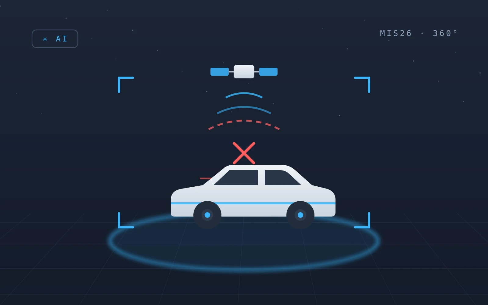
Every fleet manager in Israel knows the phenomenon: a vehicle driving on Highway 6 that is suddenly 'located' in Beirut, a route that cuts off mid-way, a daily mileage that tripled. In recent years GPS disruptions have moved from a rare event to part of operational routine - and anyone whose whole operation leans on satellite positioning discovers that reports, settlement and alerts fall apart together with the signal. This is what it looks like right now, on a live map:
Jamming vs. spoofing - two different failures
Jamming floods the frequency with noise: the receiver simply loses its position and the vehicle vanishes from the map. Spoofing is more sophisticated - a fake signal convinces the receiver it is somewhere else, so the vehicle doesn't vanish but reports a wrong location with full confidence. The distinction matters, because spoofing pollutes the data quietly: the system keeps recording, it just records a lie.
What it does to fleet operations
The impact goes beyond a dot on a map: trip and mileage reports corrupt, distance-based settlement breaks, geofences stop working, location alerts fire falsely or stay silent, and route planning starts from wrong inputs. In a fleet that carries people there's also the safety dimension - a parent or client asking where the shuttle is gets a wrong answer.
Knowing what's happening right now
Public tools map the phenomenon in near real time. The best known is GPSJam (gpsjam.org) - a free daily map built from aircraft (ADS-B) data showing interference zones worldwide, our region included. Understand the limitation: the data is collected at high altitude, so the map reflects what aircraft experience - not necessarily what a vehicle on the street does. It's excellent for trends and a regional picture, less for street-level operational navigation.
Building an operation that doesn't go blind
You can't prevent jamming, but you can build an operation that keeps working while it happens. Three principles. First - local documentation on the vehicle: when recording, event detection and driver identification run on an on-board computer, they don't depend on the satellite; every event is still captured with a timestamp, and data syncs when reception returns. Second - source cross-checking: video, vehicle data and timing expose a lying position, because what the camera sees doesn't square with the reported location. Third - procedures: know in advance how the operation behaves under disruption, instead of finding out during one.
The video advantage in the disruption era
This is where the line runs between tracking systems and a camera-based operation: a GPS point can be jammed or spoofed, but video recorded locally on the vehicle - what actually happened, when and how - doesn't depend on an external signal. When GPS returns, there's a full evidence chain; and when it lied, there's a way to prove it. In a reality where the satellite is an unreliable witness, the camera is the witness that remains.
Bottom line
GPS disruptions are not a passing glitch but a new environmental condition for fleets in the region. The difference between a fleet that stalls and one that keeps working is architecture: local documentation independent of the satellite, video-and-data cross-checking, and clear procedures. Want to test how your operation holds up under a disruption? Talk to us.
Contact Us
Contact usRelated articles
Bus fleet management: why GPS alone is no longer enough
Most bus fleets run on a tracking system today. It knows where the bus is - but not what happened inside it. The difference between fleet management built on GPS points and management built on evidence, and why it matters most when the cargo is people.
Student and employee shuttles: closing the responsibility gap
A shuttle company runs on a diary, WhatsApp and phone calls - while carrying the most precious thing its clients have. What a shuttle operation looks like when every ride is assigned, monitored and documented, and why in student transport documentation is not a luxury.